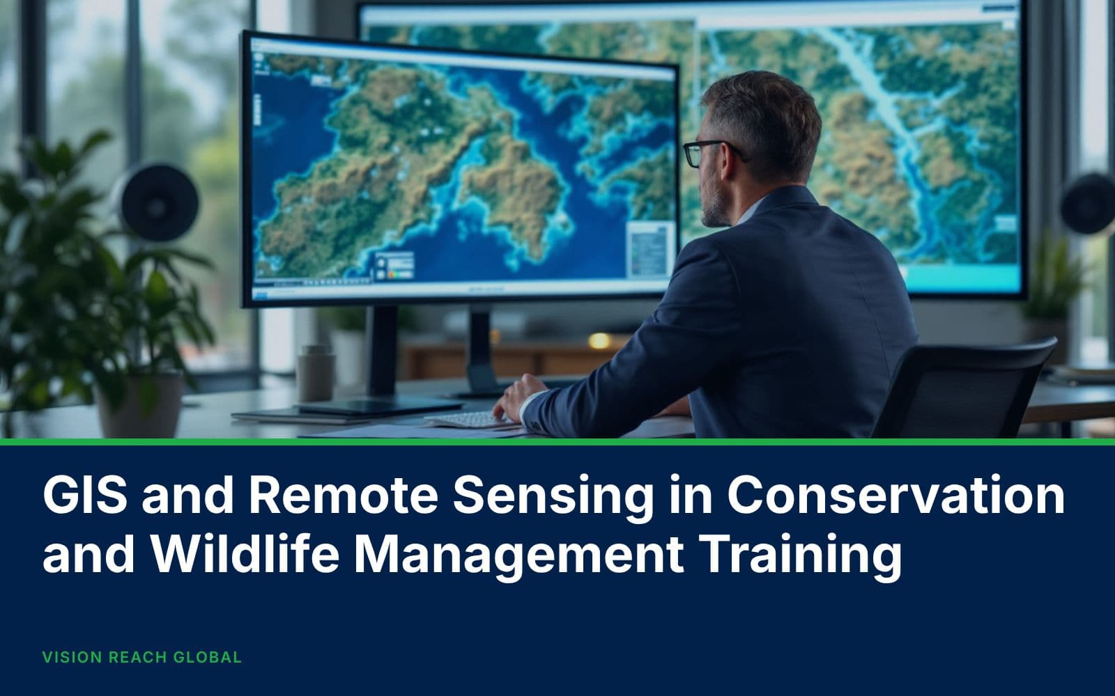
Conservancies and wildlife authorities increasingly rely on spatial data to protect habitats and manage human-wildlife conflict; this course builds the GIS and remote sensing skills conservation teams need in the field. Participants work with real satellite imagery and GPS collar data.
Effective wildlife conservation now depends on spatial evidence: where habitats are shrinking, where animals move, and where poaching risk concentrates. This course builds practical capability in QGIS and satellite imagery analysis for conservation, covering habitat suitability mapping, land cover change detection using Landsat and Sentinel imagery, and analysing GPS collar movement data to identify wildlife corridors.
Participants also build poaching and human-wildlife conflict hotspot maps using kernel density analysis, and practise producing the ranger-ready maps and reports that conservancy management and donor reporting depend on.
By the end of this course, participants will be able to:
Day 1
Day 2
Day 3
Day 4
Day 5
Day 6
Day 7
Day 8
Day 9
Day 10
This course is ideal for professionals applying spatial analysis to conservation and wildlife management.
Participants who complete this course receive a Certificate of Completion from Vision Reach Global Consultancy. The course fee includes training materials, software lab access, sample satellite imagery and GPS collar datasets, facilitation by an experienced conservation GIS specialist, and a certificate presented at the close of the programme.
Upcoming cohorts
CPD accredited certificate
Official invoice & confirmation letter provided
Team discount for 3+ seats
Need help with this booking?
Our training team can help with group pricing, invoicing, or picking the right schedule.
Everything you need to know about this course before you register.
By the end of the GIS and Remote Sensing in Conservancy and Wildlife Management Training programme, you'll be able to map habitat suitability using gis overlay and weighting techniques, detect land cover and habitat change using landsat and sentinel imagery, analyse gps collar movement data to identify wildlife corridors, and build poaching and human-wildlife conflict hotspot maps using kernel density analysis. The full breakdown of topics is covered session by session in the Course Outline tab above.
This course is ideal for professionals applying spatial analysis to conservation and wildlife management. Typical delegates include Conservancy and Wildlife Management Officers, Park Rangers and Ecological Monitoring Staff, Conservation NGO Programme Staff, Wildlife Researchers and Ecologists, and Natural Resource Management Planners.
GIS and Remote Sensing in Conservancy and Wildlife Management Training typically runs as 10 Days. It's available as in-person classroom training — every course can also be delivered on-site for your team on dates that suit you.
GIS and Remote Sensing in Conservancy and Wildlife Management Training is scheduled in-classroom in Mombasa, Kenya, Naivasha, Kenya, Nairobi, Kenya, and Kisumu, Kenya, and 14 other locations, plus a live interactive virtual classroom you can join from anywhere. Check the schedule panel above for exact upcoming dates and fees in each location.
GIS and Remote Sensing in Conservancy and Wildlife Management Training runs on a rolling cohort basis, so a new intake is always coming up. Pick your preferred format and location in the schedule panel above, then click "Register for the Course" to reserve your seat — confirmation follows once payment or a signed purchase order is received.
Yes — delegates who meet the attendance requirement receive a CPD-accredited Certificate of Completion for GIS and Remote Sensing in Conservancy and Wildlife Management Training from Vision Reach Global Consultancy, issued in the name you register with, so double-check the spelling at checkout.
GIS and Remote Sensing in Conservancy and Wildlife Management Training is pitched at intermediate professionals. If you're unsure whether it's the right fit for your current role or background, message our training advisors before you register and they'll help you confirm.
Fees for GIS and Remote Sensing in Conservancy and Wildlife Management Training vary by delivery location and format and are shown in real time in the schedule panel above once you pick a date. Register 3 or more delegates on the same course together and a 5% team discount is applied automatically — larger cohorts can request a custom corporate quote.
Yes — GIS and Remote Sensing in Conservancy and Wildlife Management Training can be delivered on-site at your offices (or virtually for distributed teams), with case studies and examples tailored to your industry and the specific challenges your team is working through. Switch to the "In-House" tab in the schedule panel above to request a proposal.
Related Training
Key Skills You'll Learn
Vision Reach Global
From $1,700 · KSh 160,000
Key Skills You'll Learn
Vision Reach Global
From $1,700 · KSh 160,000
Key Skills You'll Learn
Vision Reach Global
From $800 · KSh 80,000
“VRG brings strategic discipline to complex organizational challenges. Their approach is structured, data-driven, and outcome-focused.”
Levis Wabwire
Managing Director
“They facilitated our strategy review, we improved departmental KPI alignment by 35% and reduced operational bottlenecks significantly.”

David Oketch
Strategy Lead
“Employee engagement scores increased following the leadership training program. The difference in accountability culture is evident.”

Wendy Albright
Program Manager