Professional Development
Training Courses in Pretoria, South Africa
Advance your career with CPD-accredited professional training courses in Pretoria, South Africa covering Administration and Secretarial Management, Agriculture and Agribusiness Sustainability, and Banking, Accounting and Financial Management. Delivered in-house, classroom, and virtual. Certification for individuals and organisations.
Geospatial Strategy Training
Key Skills You'll Learn
- Assess an organisation's GIS maturity using a structured framework
- Evaluate spatial data governance and infrastructure needs
- Build a geospatial technology roadmap aligned to organisational goals
Vision Reach Global
From $1,700 · KSh 160,000
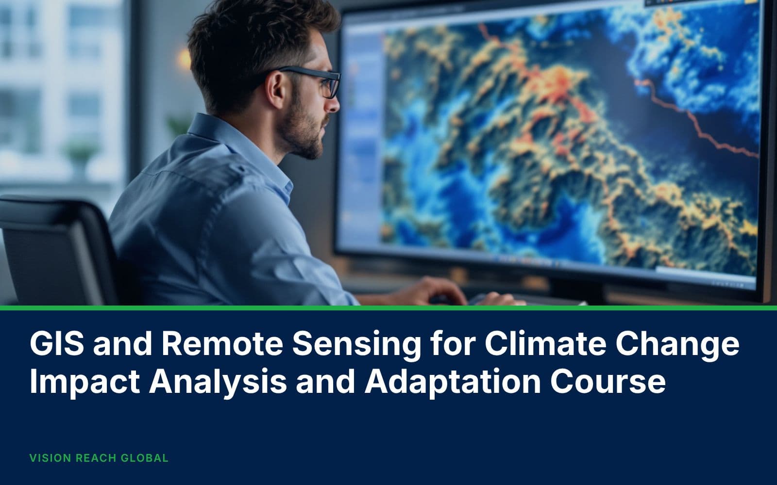
GIS and Remote Sensing for Climate Change Impact Analysis and Adaptation Course
Key Skills You'll Learn
- Understand GIS applications in climate change impact analysis.
- Apply remote sensing techniques for climate monitoring activities.
- Analyze spatial climate datasets for environmental assessments.
Vision Reach Global
From $800 · KSh 80,000
GIS and Remote Sensing for Sustainable Forest Monitoring and Management Training
Key Skills You'll Learn
- Classify forest and non-forest land cover using satellite imagery
- Estimate canopy cover using remote sensing indices
- Detect deforestation and forest degradation using multi-temporal change analysis
Vision Reach Global
From $1,700 · KSh 160,000
GIS and Remote Sensing in Agriculture, Food Security and Climate Change
Key Skills You'll Learn
- Monitor crop condition using NDVI and other vegetation indices
- Analyse satellite-derived rainfall and drought indices
- Map cropped area extent using satellite imagery classification
Vision Reach Global
From $1,700 · KSh 160,000
GIS and Remote Sensing in Conservancy and Wildlife Management Training
Key Skills You'll Learn
- Map habitat suitability using GIS overlay and weighting techniques
- Detect land cover and habitat change using Landsat and Sentinel imagery
- Analyse GPS collar movement data to identify wildlife corridors
Vision Reach Global
From $1,700 · KSh 160,000
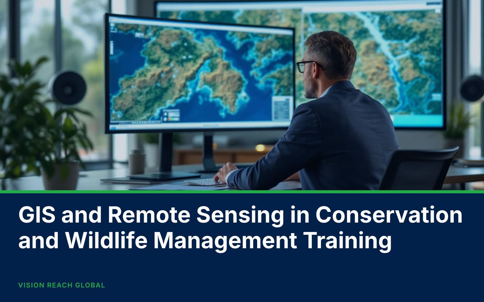
GIS and Remote Sensing in Conservation and Wildlife Management Training
Key Skills You'll Learn
- Develop skills in GIS applications for wildlife and conservation management activities.
- Understand remote sensing methods for environmental monitoring and resource assessment.
- Apply spatial analysis techniques for wildlife habitat mapping and management.
Vision Reach Global
From $1,700 · KSh 160,000
What Our Clients Say
“VRG brings strategic discipline to complex organizational challenges. Their approach is structured, data-driven, and outcome-focused.”
Levis Wabwire
Managing Director
“They facilitated our strategy review, we improved departmental KPI alignment by 35% and reduced operational bottlenecks significantly.”

David Oketch
Strategy Lead
“Employee engagement scores increased following the leadership training program. The difference in accountability culture is evident.”

Wendy Albright
Program Manager
Frequently Asked Questions
Find quick answers before reaching out.
Courses are delivered as Classroom Training, Virtual/Online Training, or In-House Training built around your organization's schedule. See the Training Formats page for details, or filter the course catalogue by format.